Drones as a Service (DaaS)
Boost your operations with FID Drone Solutions’ innovative Drones as a Service (DaaS) model, built for smooth integration and maximum value, or choose our flexible pay-per-day option for your inspection needs. Based in Brunei, we deliver complete UAV solutions for both offshore and onshore settings, removing the need for clients to invest in their own hardware.
Flexible Tiers: Starting at Basic: (5 inspections), scaling to Premium (20 inspections with AI analytics), tailored to your needs.
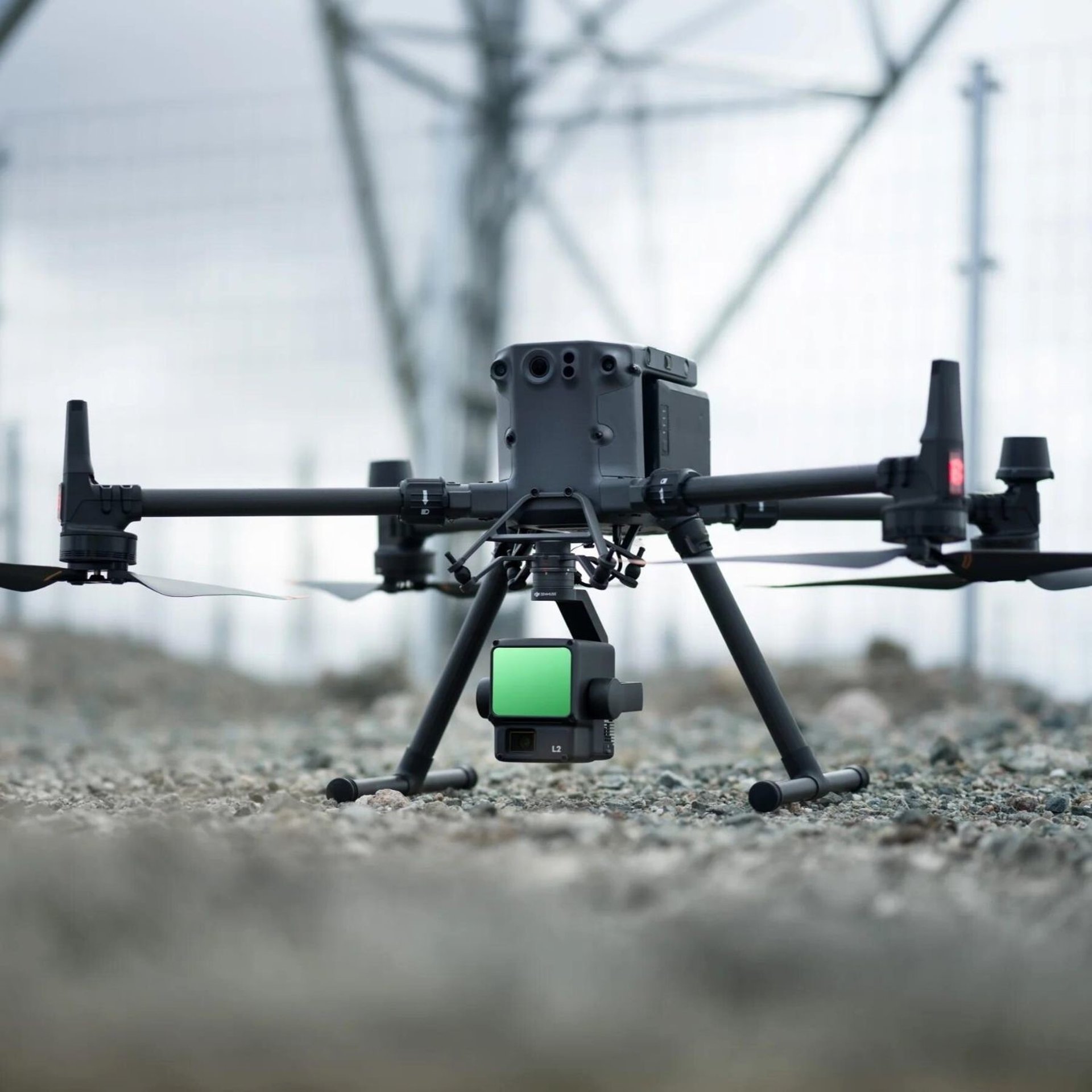
Advanced Technology: Utilizes DJI Matrice M400 / 350 RTK, Matrice 4T/4E, Zenmuse and third-party payloads.
Key Benefits: Achieve 20–50% cost savings and 90% reduced downtime vs. traditional methods, with ISO 21384-3 compliant operations.
Safety & Compliance: Supported by our Integrated Documentation Suite, audited semi-annually, and aligned with global standards.
Deliverables: Real-time data, georeferenced 3D models, and CAPA logs.
Contact us today to customize your DaaS plan and transform asset integrity today!
Drone-as-a-Service
© 2025. All rights reserved.
Expert UAV inspections for industrial asset monitoring.